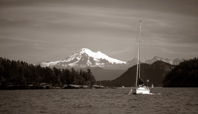

Caribou-Targhee National Forests
The Caribou-Targhee National Forests in our area cover 1.8 million acres and are part of the Greater Yellowstone Ecosystem. The area is bounded by Yellowstone National Park on the northeast and Grand Teton National Park on the east. We primary use the Targhee portion of the forest. The forest's lands include several mountain ranges, sagebrush-dotted plains, and arid highlands.
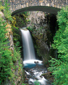
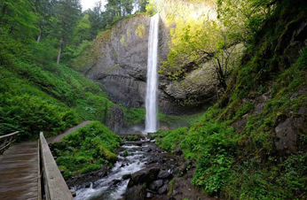
A special Targhee National Forest treasure near Idaho Falls is the Upper and Lower Mesa Falls. The Falls have footpaths for photography with an elevation of 7,000 feet. In the winter, roads are closed but the area remains open to snowmobiles.
Links below give further information about these sites. There is also a link about fall foliage colors for the entire United States.
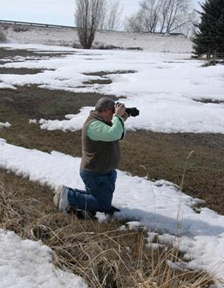
The links are followed by site photographs taken by EIPS members. Caribou Targhee Yellowstone National Park Grand Teton National Park Mesa Falls Fall Colors Web PageTarghee National Forest Photographs
-
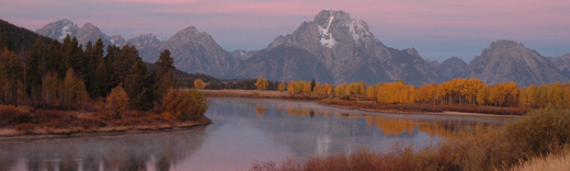
 Tetons as Viewed from Idaho© Sue Heng
 -
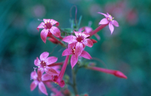
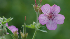 Sticky Geranium Flower© Roger Heng
 -
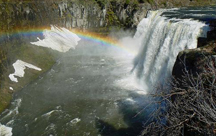 Mesa Falls© Christopher Leavell 2008
 -
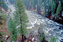 Henry's Fork, Snake River© David Gale
 -
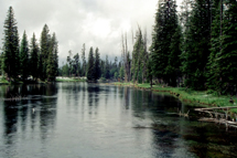 Big Springs© David Gale
 -
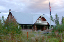 Visitor Center, Mesa Falls© Sue Heng 2008
 -
 Trumpet Flowers© Jamie Gale
 -
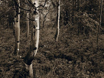 Aspen Trees© Christopher Leavell 2008
 Like us on Facebook